The three maps
| Map | What it is | Dungeon | What we know |
|---|---|---|---|
| Jacques Bridge | A bridge and river crossing with military positions | Jacques Folly | The public HUNGER ATLAS database counts 283 loot containers and a nearby cluster called Fort Sang Rouge |
| Sombre Forest | Dense forest with camps, ruins and ambush points | The Pit | ATLAS counts 232 containers and a nearby cluster called Cutter’s Hamlet |
| Sarlat Farm | Farmland, barns and a windmill-style settlement | Undercroft | ATLAS counts 156 containers and a nearby cluster called Gunline Fort |
The container counts come from a public fan database, not the developer. Treat them as a rough guide to how much loot a map holds, not a promise that every container is worth opening. We do not copy their interactive maps; we explain what each map is for and how to learn it.
What each map is for
Jacques Bridge
The name suggests a crossing, and the playtest footage shows military camps, wagons and fortified positions. It is the map for players who like defined chokepoints: a bridge is a natural ambush point, and the dungeon Jacques Folly adds a second layer under the surface.
Sombre Forest
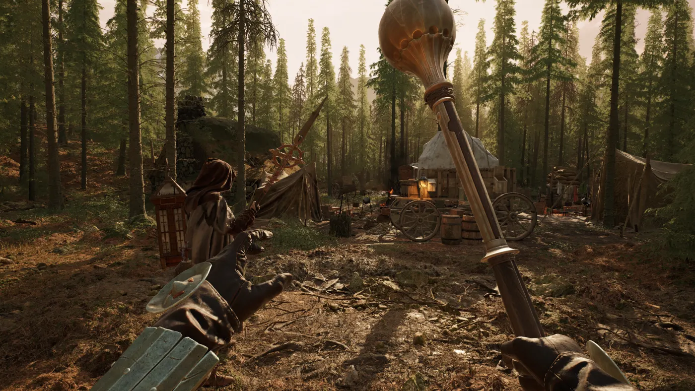
The forest map is the one in the official screenshots with tents, campfires and narrow sightlines. It rewards sound discipline more than long-range aim: players can be close before you see them, and the dungeon The Pit is a close-quarters contrast to the trees.
Sarlat Farm
The farm map is the one with the windmill and the large infected brute in the official screenshot. It mixes open fields with barns and settlements, so it has both long sightlines and tight interiors. The dungeon Undercroft is the underground section.
How to learn a map without a minimap
HUNGER has no minimap. You navigate with:
- The compass, which shows the direction of active extracts.
- The map, which you open to check your position and landmarks.
- Landmarks: bridges, windmills, forts, campfires, distinctive buildings.
- Sound: gunfire, crows, hanged-body traps and the extraction balloon.
A simple learning method:
- Pick one map and play it three times in a row.
- Before each raid, note the weather and time of day.
- Walk the edge of the map first; learn where the extracts and dungeons are.
- Mark one landmark per raid in your memory, not ten.
- Only then start looting the interior compounds.
Weather and time of day
The game shows the current weather and time before you load in. They matter because:
- Visibility changes how far you can see and how easily you are spotted.
- Sound carries differently in rain and wind.
- Loadout should change: a long-range rifle is less useful in fog; a melee build is more viable in a dark forest.
Do not treat every raid as the same map. The same 1 km² can play completely differently at noon and at night.
What we still do not know
- Official POI names for every compound (the public databases use community names).
- Boss names inside each dungeon.
- Level requirements or recommended gear per map (not published).
- Whether the launch maps match the playtest layouts exactly. We will re-check on December 3.